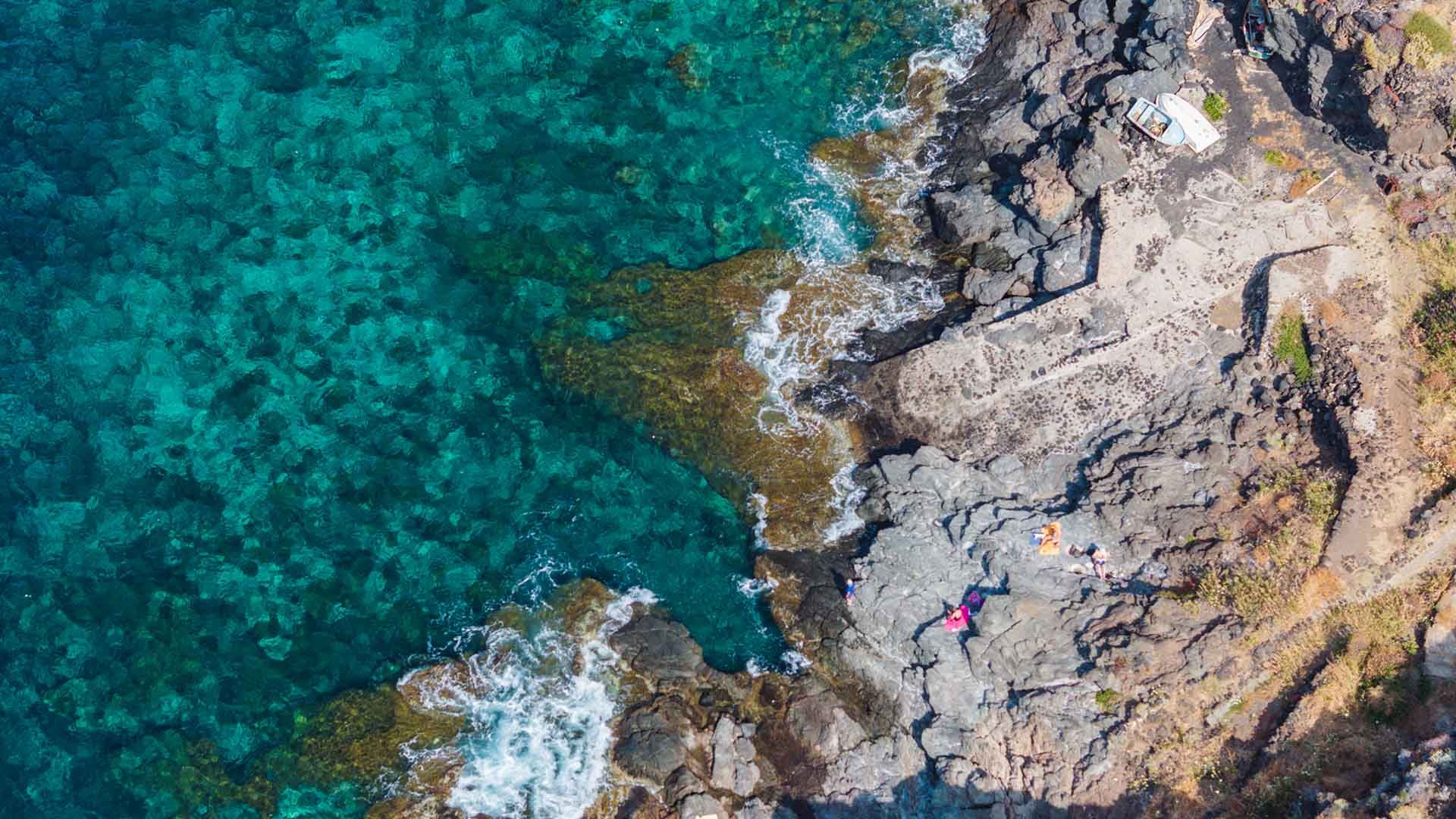
The descent to the sea of Nikà is located in the southwestern sector of the island, near coordinates 36.7425° N, 11.9778° E. Access is via Via Nikà, off the island’s coastal road, where a small unpaved clearing offers parking for approximately 4–6 vehicles. From there, a dirt path of about 100 meters continues downhill through basalt and tuff rocks, with an average slope of 14%, leading to a natural rocky platform about one meter above sea level. The cliff features a small inlet beneath the rocky ridge and allows for direct access to the water. The seabed drops off quickly, reaching depths of 4–5 meters within the first 10 meters from the shore. Non-slip footwear is strongly recommended, and visitors should exercise extreme caution during the descent and when diving into open water.
Tour Guide