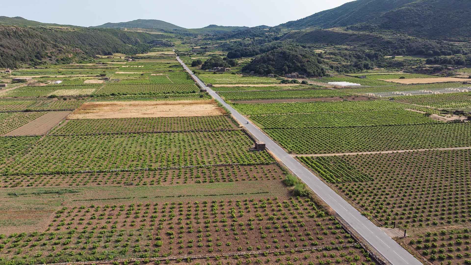
The Piana di Ghirlanda lies approximately 1 km southeast of the Port of Scauri (36.7872° N, 11.9648° E). The area is accessible via an unpaved parking area along the SP21 road, with space for 8–10 vehicles. From there, a flat dirt path of about 150 meters—featuring a gentle slope of less than 5%—leads to the heart of the plain at an altitude of 100 meters above sea level. The terrain consists of ancient basaltic lava flows and terraced volcanic soils covered in Mediterranean scrub (such as caper plants and shrubs), with no significant elevation changes. Lightweight hiking shoes and sun protection are recommended, as there is no natural shade along the route.
Tour Guide
