The top agricultural sites of Pantelleria
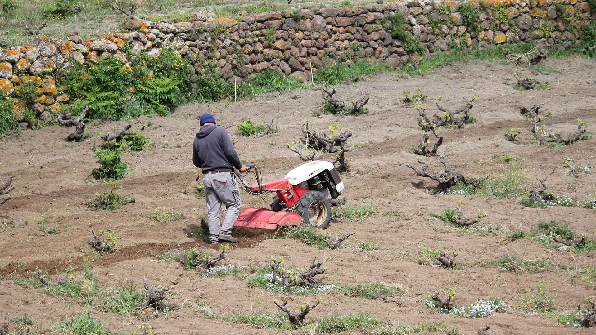
Piana della Ghirlanda. Known as the island’s agricultural garden, the Piana della Ghirlanda (in the local dialect, u Chiánu dā Ghirlánna) is an ancient volcanic caldera floor, flattened by alluvial events. Enclosed by rock walls and wild vegetation, it experiences strong temperature swings between day and night—ideal conditions for vine cultivation in a water-scarce territory. According to the most accepted theory, its name derives from the surname Gerlando, present on the island in the 18th century.
Piana di Monastero. A silent valley cultivated with capers, citrus fruits, and vegetables. It was formed by the collapse of an ancient caldera—its rim still visible in places—and is distinguished by the extraordinary fertility of its soil. The name may recall an old Basilian monastery, now only faintly hinted at among a few scattered ruins.
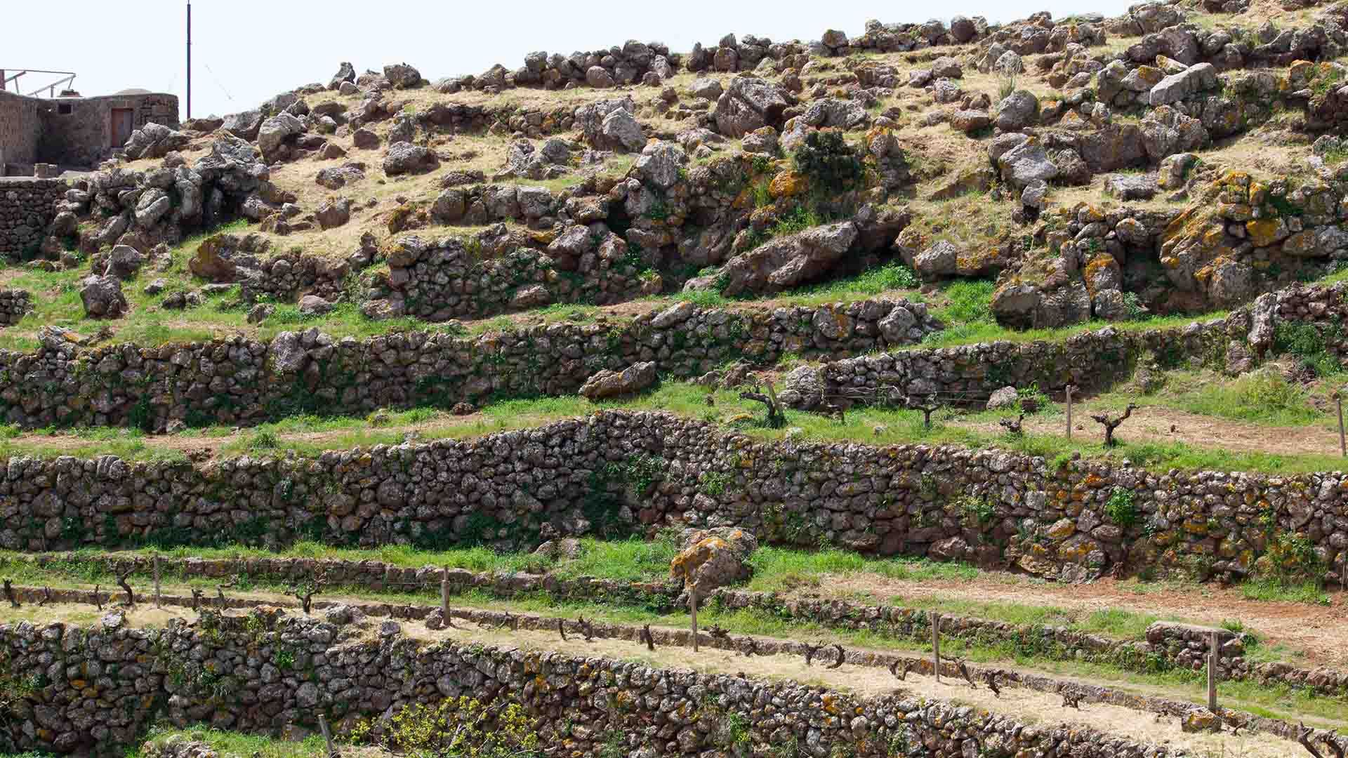
Khamma and Tracino. On the eastern side of the island, Khamma and Tracino are among Pantelleria’s greenest districts. Terraced slopes descend toward the sea, connecting the vines of the Piana della Ghirlanda with the fertile lands of Mueggen. On the opposite side, the Dietro Isola area offers wild landscapes where Mediterranean scrub plunges into deep water.
Caper Amphitheater. An area cultivated with capers that resembles a natural amphitheater. This caper field—often called Cappereto Bonomo or the “Machu Picchu of capers”—is a distinctive feature of Pantelleria and an important testament to traditional caper cultivation.